2.5K 
Which is why we were excited agus delighted when reader Brian Gurrin put together a
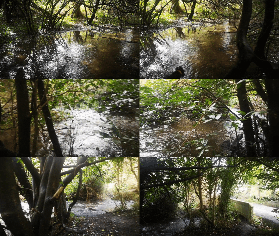
Most locals will know Three Trouts River; the small stream which flows southwards through the Glen of the Downs, then eastwards,

The Max!
The Max!
 t runs through Glen Of The Downs, Delgany, Charlesland and on to the sea, but
  what do we really know about this ancient little river…?
 potted history of Three Trouts River.
  south of Delgany, under the road bridge at Three Trouts Bridge, and under the Farrankelly Road, just north of Charlesland and Seabourne Apartments. The stream is shallow, narrow, and hardly noticeable. But more than 400 years ago it briefly marked the boundary between County Dublin and the original County Wicklow.
 Back then Dublin stretched as far south as Arklow, which was then in County Carlow (Carlow had a sea boundary at that time). However, although in County Dublin, the area was controlled by the O’Byrnes, and the government had little control over it.
 regularly; parliaments were only called periodically, usually when the sitting monarch needed money. When a parliament was called, elections were held, MPs elected, and the new parliament was expected to approve taxes for the monarch, and pass a few other laws – then the parliament would usually be closed down. By the end of the sixteenth century parliaments might be called once a decade, or even less frequently. However, after the Reformation of the Church most of Ireland remained loyal to Rome, so parliaments tended to become embroiled by religious
  wrangles, and cause problems for the government.
 The MPs for County Wicklow were Sir Henry Harrington and Edward Brabazon.
 counties were disbanded, and the old boundaries of counties Dublin, Carlow and Wexford restored. The new counties of Wicklow and Ferns only lasted about 7 years, but never really functioned, except for the purpose of electing the 4 MPs to the parliament. But for those 7 years tiny Three Trout’s River was the county boundary between Wicklow and Dublin.
  So when you travel along Farrankelly Road and pass over Three Trouts River or along Kilcoole Road and cross Three Trouts Bridge you are crossing from one county into another, based on the old 1579-1585/6 boundary.
 until 1606, when a new (second) County Wicklow was created, with the borders that we know today (with some minor modifications). This time, however, it was recognised that the new county needed substantial Protestant settlements to function, so the new northern boundary of County Wicklow was plotted along the Dargle River, thereby transferring Bray, Powerscourt, Delgany and the Greystones area (Greystones town did not exist at that stage) into the new County Wicklow.
  County Ferns, of course, was never recreated.
2 comments
There was a hotel apparently. Near the three trouts bridge almost a hundred years ago near where the house was recently demolished apparently does anyone have info.
Interesting history. It appears that the Three Trouts River also currently marks the southernmost boundary of the Dublin Metropolitan Area as defined in the Rergional Planning Guidelines for Greater Dublin.